|
|
Post by glideboy on Nov 15, 2009 21:21:41 GMT 12
|
|
|
|
Post by Brett on Nov 16, 2009 14:18:43 GMT 12
It's great to see a thread on the gliding board that doesn't start with mention of a crash.
Interesting photos! How many gliders (and pilots) take part in each course?
Cheers,
Brett.
|
|
|
|
Post by flyjoe180 on Nov 16, 2009 14:56:42 GMT 12
Nice photos Glideboy.
|
|
|
|
Post by Dave Homewood on Nov 16, 2009 16:03:07 GMT 12
Really nice photos. I guess that stunning azure body of water is Lake Tekapo?
|
|
|
|
Post by glideboy on Nov 16, 2009 16:54:08 GMT 12
Interesting photos! How many gliders (and pilots) take part in each course? Cheers, Brett. Around 10 - 15 depending on the day. This week it is the South Island regionals, so some pilots come early to do the tasks to get into the swing of things. |
|
|
|
Post by glideboy on Nov 16, 2009 16:54:37 GMT 12
Really nice photos. I guess that stunning azure body of water is Lake Tekapo? Lake Pukaki |
|
|
|
Post by glideboy on Nov 16, 2009 16:57:49 GMT 12
Monday was a thermal day so the task was Cotters (in the Dingle near Lake Hawera), Stewarts Stream in the Ben Ohaus about 20K from Mt Cook The Grid 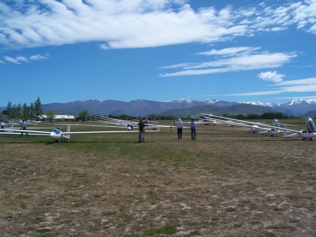 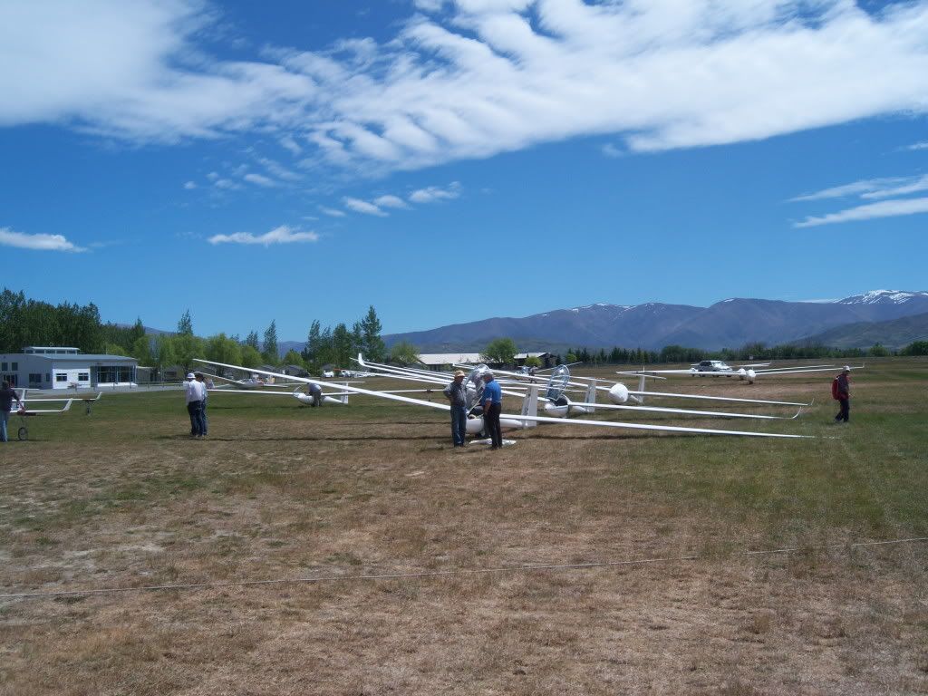 Canterbury club members Edwin and Rob discuss the day. Rob is flying the Janus from the front seat and Edwin is flying the LS4 (behind the Janus) 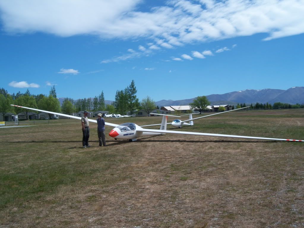 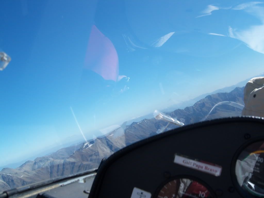 Omarama club Duo Discus 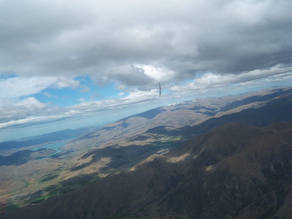 Near sunset on the airfield 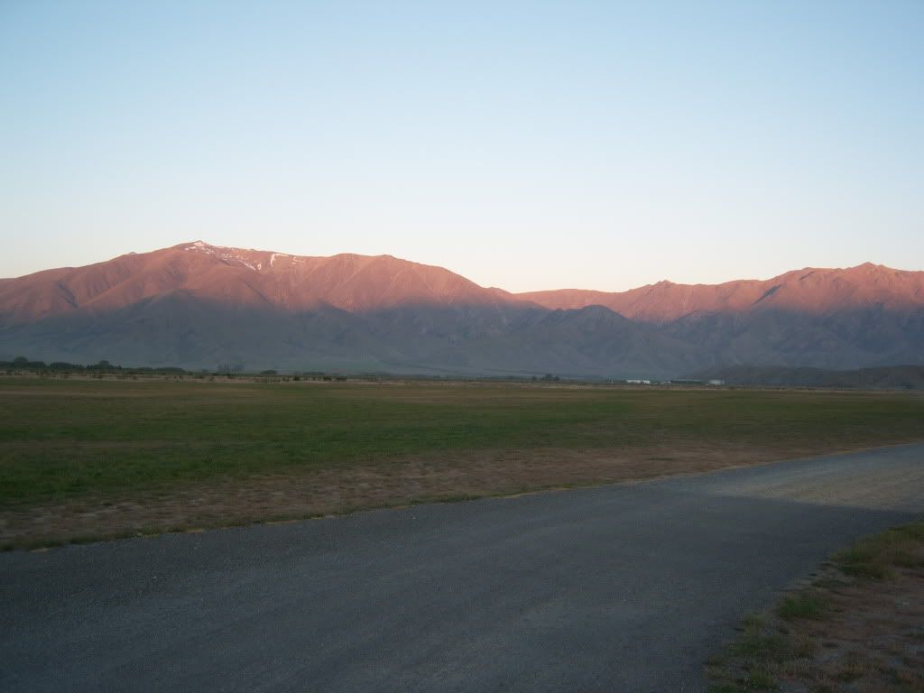 |
|
|
|
Post by Dave Homewood on Nov 16, 2009 19:55:14 GMT 12
Really nice photos. I guess that stunning azure body of water is Lake Tekapo? Lake Pukaki Whoops, of course it is. Sorry, showing my northern-ness.  |
|
|
|
Post by corsair67 on Nov 16, 2009 23:45:43 GMT 12
Wonderful photos there, Paul.
Good turn out of gliders too - is that usual for these events?
|
|
|
|
Post by glideboy on Nov 17, 2009 18:11:51 GMT 12
Wonderful photos there, Paul. Good turn out of gliders too - is that usual for these events? It is for this course |
|
|
|
Post by glideboy on Nov 17, 2009 18:18:24 GMT 12
So here is the GPS trace for our Monday flight. It was quite difficult to get established (enough height to fly on towards the turn point) When we first got into the Dingle Valley we actually flew the wrong way (away from the turn point) This made it difficult to get back out of the valley. We managed to get onto the Barrier Range but quite low down and while we did some "rock polishing" we were unable to climb onto the ridge summit. At one stage we were contemplating a landout on an airstrip in the valley, but finally managed to thermal our way home. 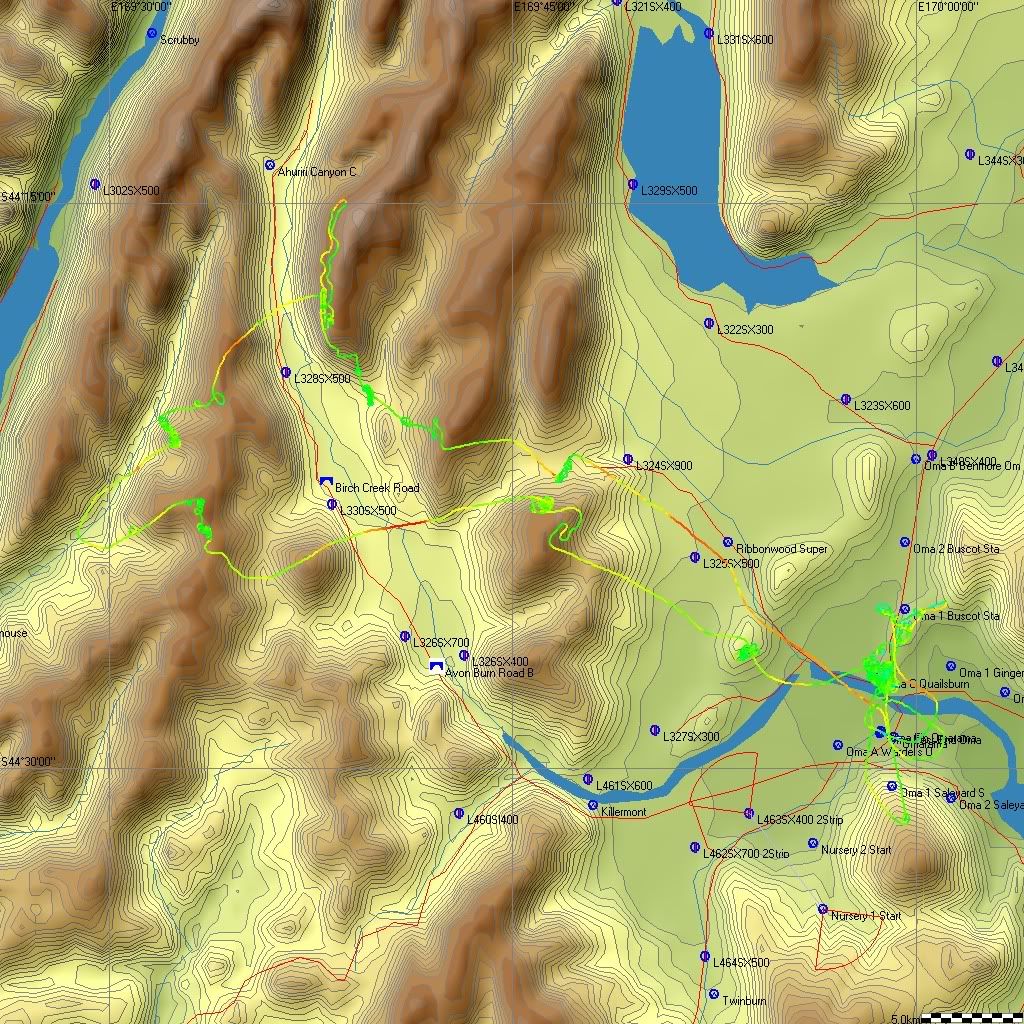 |
|
|
|
Post by glideboy on Nov 17, 2009 18:41:19 GMT 12
|
|
|
|
Post by flyjoe180 on Nov 18, 2009 16:47:54 GMT 12
Impressive GPS displays. Which type(s) of GPS unit do you use?
|
|
|
|
Post by glideboy on Nov 18, 2009 18:14:44 GMT 12
Impressive GPS displays. Which type(s) of GPS unit do you use? Its more the software. Typically glider pilots use either SeeYou or WinPilot both which have been developed for gliding. I use SeeYou |
|
|
|
Post by glideboy on Nov 18, 2009 18:30:52 GMT 12
Wednesday was another waved day. The task was again south to Shag Point on the east coast. However we took some time to climb into wave and by the time we got to the Omarama Saddle area, the wave was dumping on the ridge. Again we made the call not to go south (a landout in the Maniototo means a very long road trip or a very expensive aero-retrieve) so crossing the saddle is quite committing. We did however explore wave in the Waitaki. High in theWaitaki Valley Canopy icing was starting to be a problem 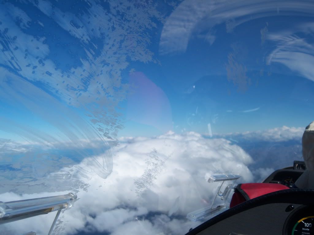 My ugly mug sucking the O2's 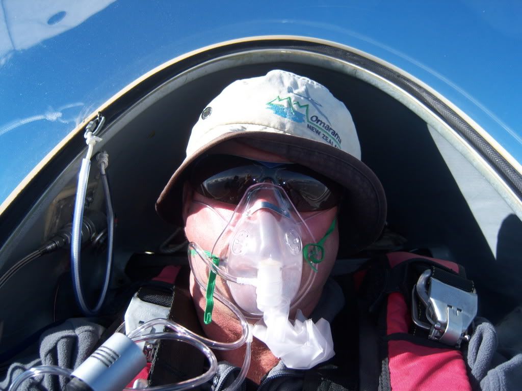 Benmore looking towards Omarama 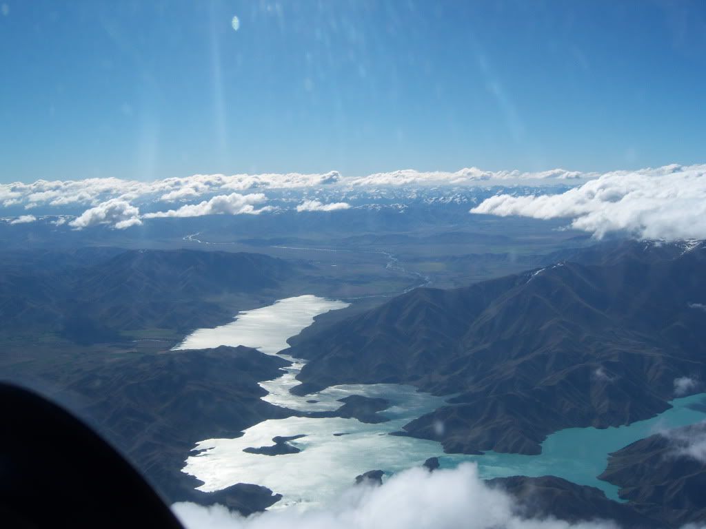 Looking north towards Pukaki and Mt Cook beyond 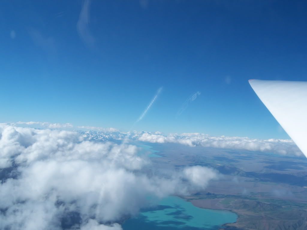 Edwin (a fellow Canterbury Club Member) got dumped out of the wave and had to land out in a paddock near the lake. We co-ordinated a retrieve from 15,000ft. (Glider circled in black) 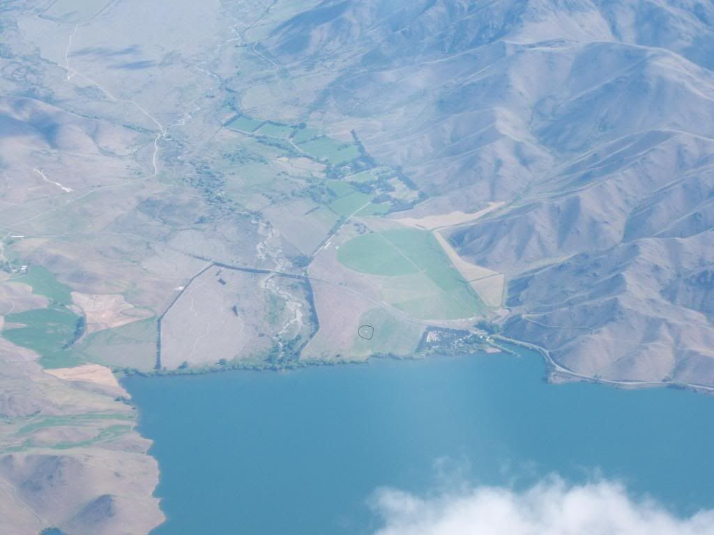 GPS trace 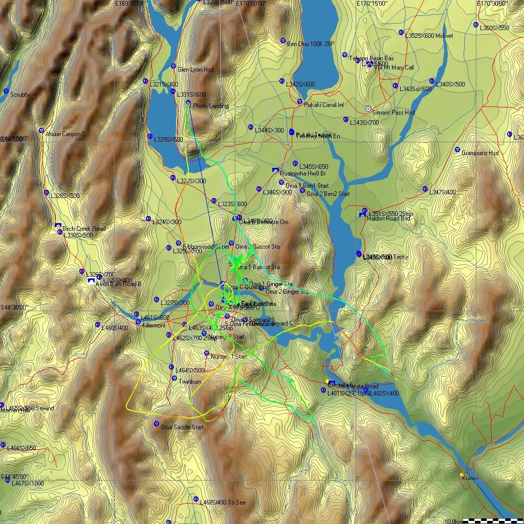 |
|
|
|
Post by sqwark2k on Nov 18, 2009 21:31:38 GMT 12
Awesome stuff Paul.... you at Horo on sunday or all glided out for the week?
|
|
|
|
Post by glideboy on Nov 19, 2009 16:42:47 GMT 12
Awesome stuff Paul.... you at Horo on sunday or all glided out for the week? Nah should be there on Sunday, subject to a pass out. Don't get there too early if you are going out as the tow plane needs to come back up from Omarama. Should be there around noon. |
|
|
|
Post by glideboy on Nov 19, 2009 16:53:59 GMT 12
On Thursday we had a warm front which brought high cloud. With little chance of convection while the high cloud was present, we took the opportunity to visit some of the local airstrips. It is always good to walk these and have a good look at approaches etc. By 3pm the cloud had broken up and I took these photo's looking up the Ahuriri valley. 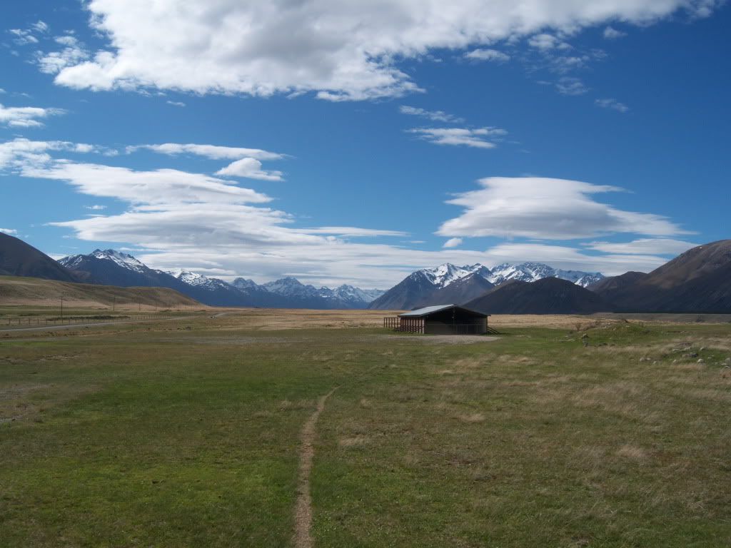 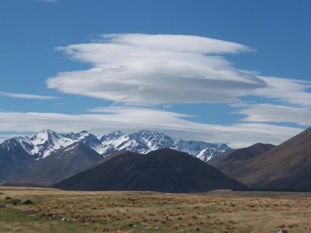 |
|
|
|
Post by glideboy on Nov 19, 2009 20:47:20 GMT 12
Friday was probably the trickiest flying day. We towed into a weak convergence in the middle of the basin and took quite a while to get established. We were still flying as we heard a number of gliders calling circuits because they were unable to stay in flight. We finally had just enough height to push for the Ewe Range and flop onto the Hawkduns at ridge height. We ran the ridge to Naseby and by that time the air felt like it had some energy. We pressed on over the north eastern end of the Maniototo riding weak thermals to the Kakanui range. The Kakanuis were working so we carried on to the turn point just off Mt Pisgah. The ride back was just a delicate with the transition from the Kakanui's to the Hawkduns the most difficult. Once re-established on the Hawkduns, we began to relax. At the head of the Hawkduns we could hear radio traffic about wave in the middle of the basin. We made a run for this, but hit heavy sink and had to landout at Killermont, just a few K's short of Omarama. Ridge soaring the Hawkduns 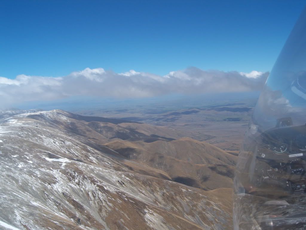 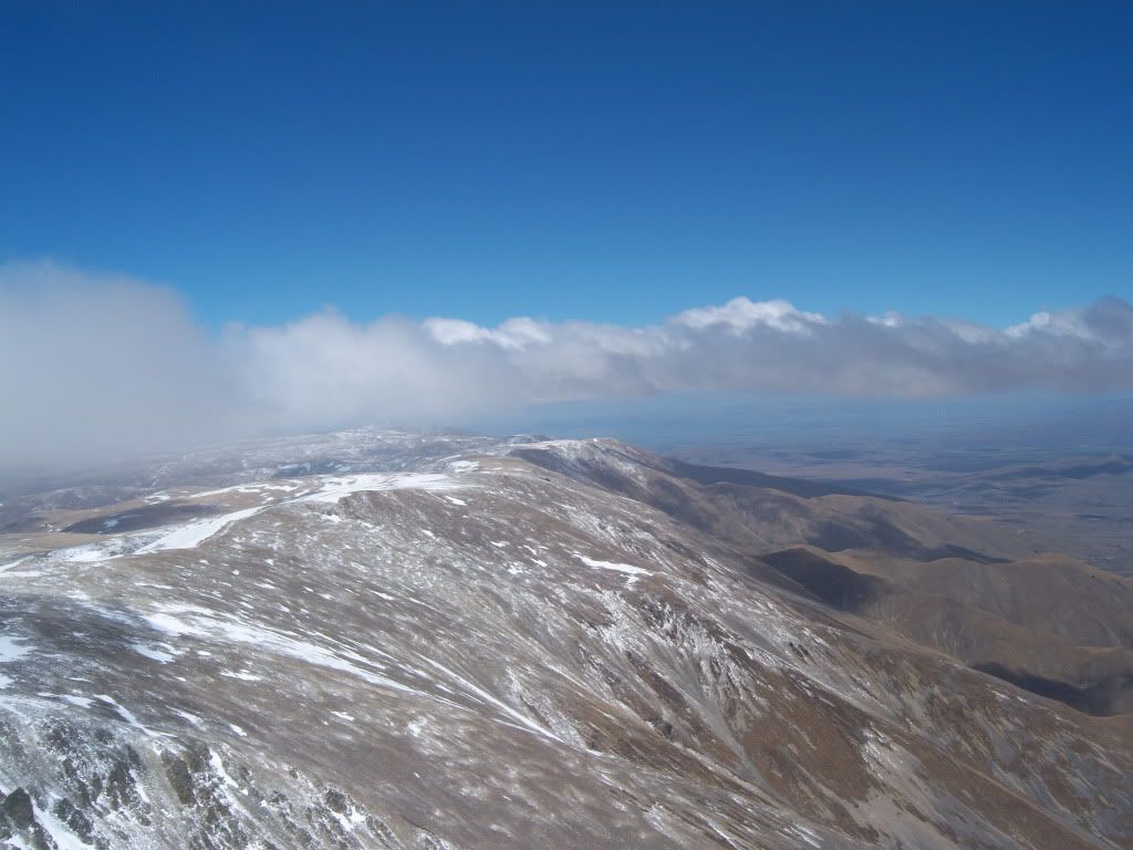 The Maniototo 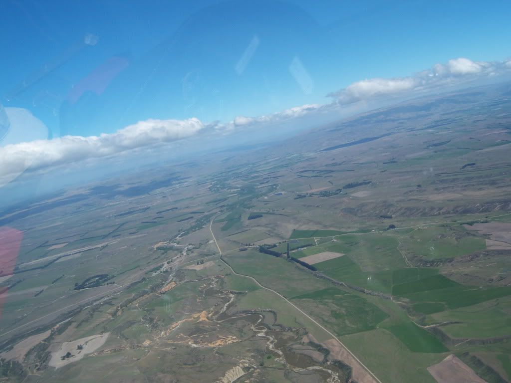 Kakanui's 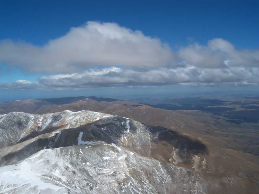 Pacific on the horizon 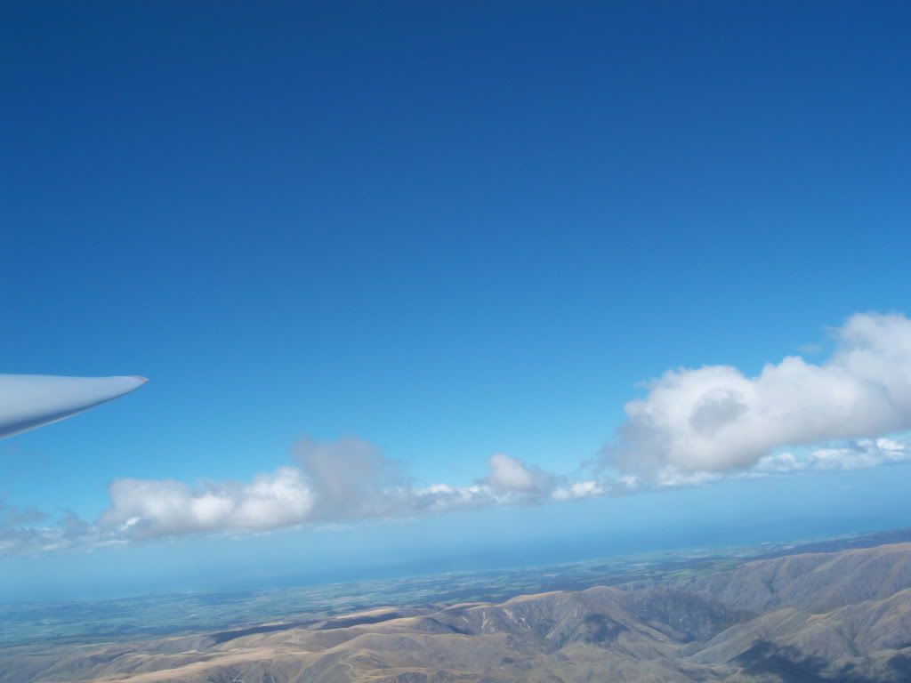 Back into the basin 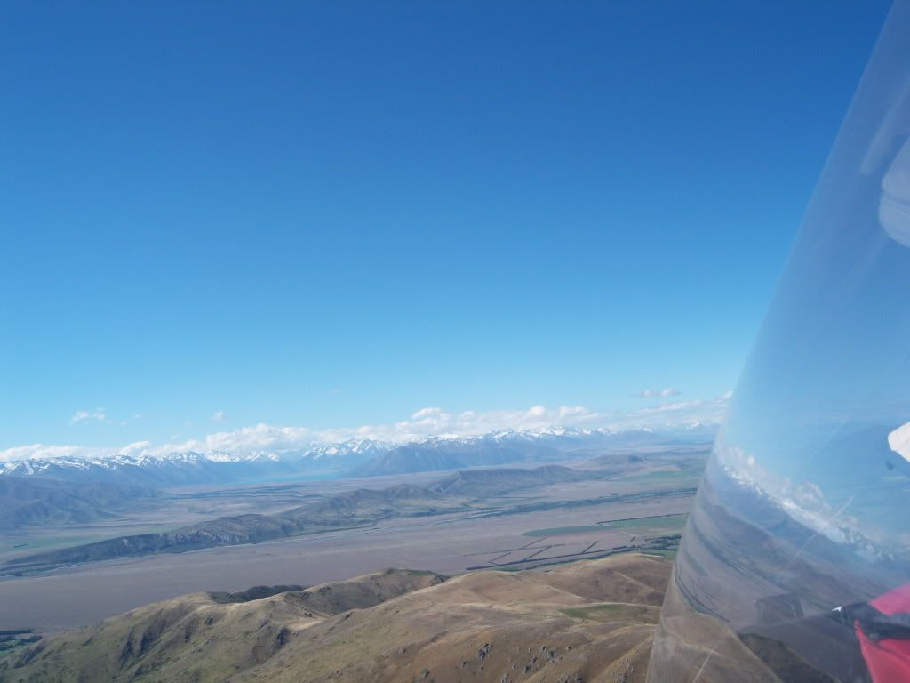 A very happy Rob waiting for the tow plane 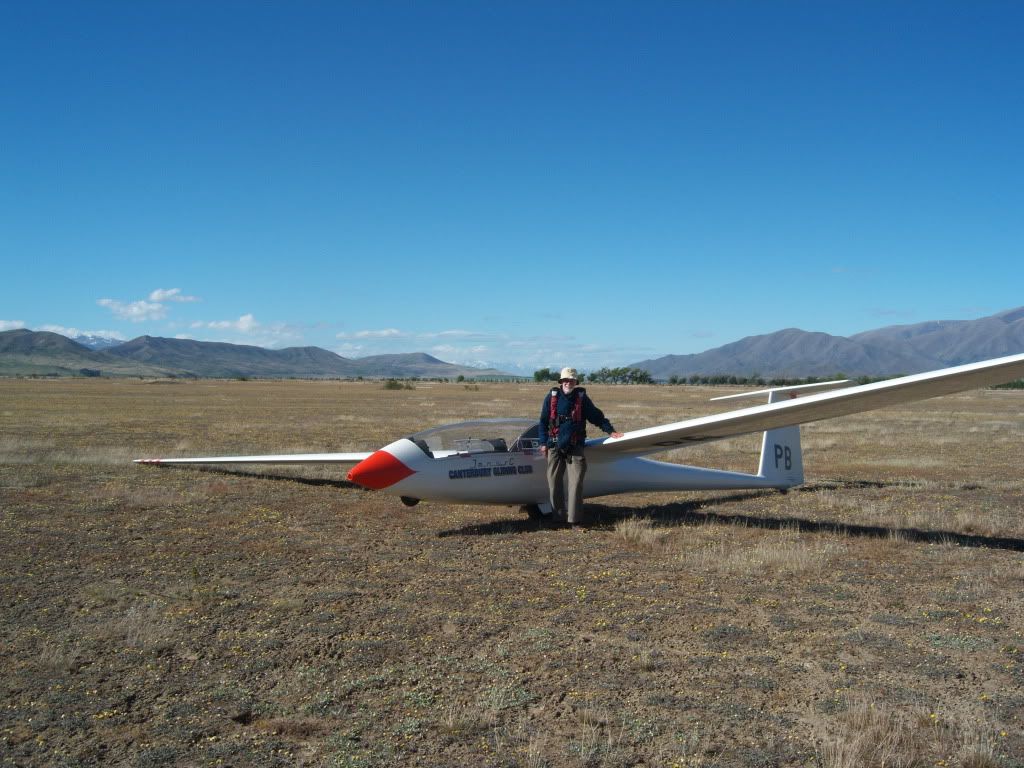 Me catching up with my daughter on the phone with the tow plane on finals 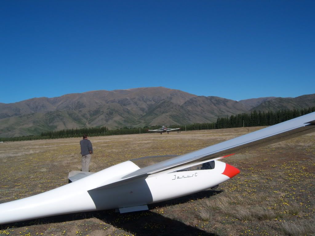 GPS trace 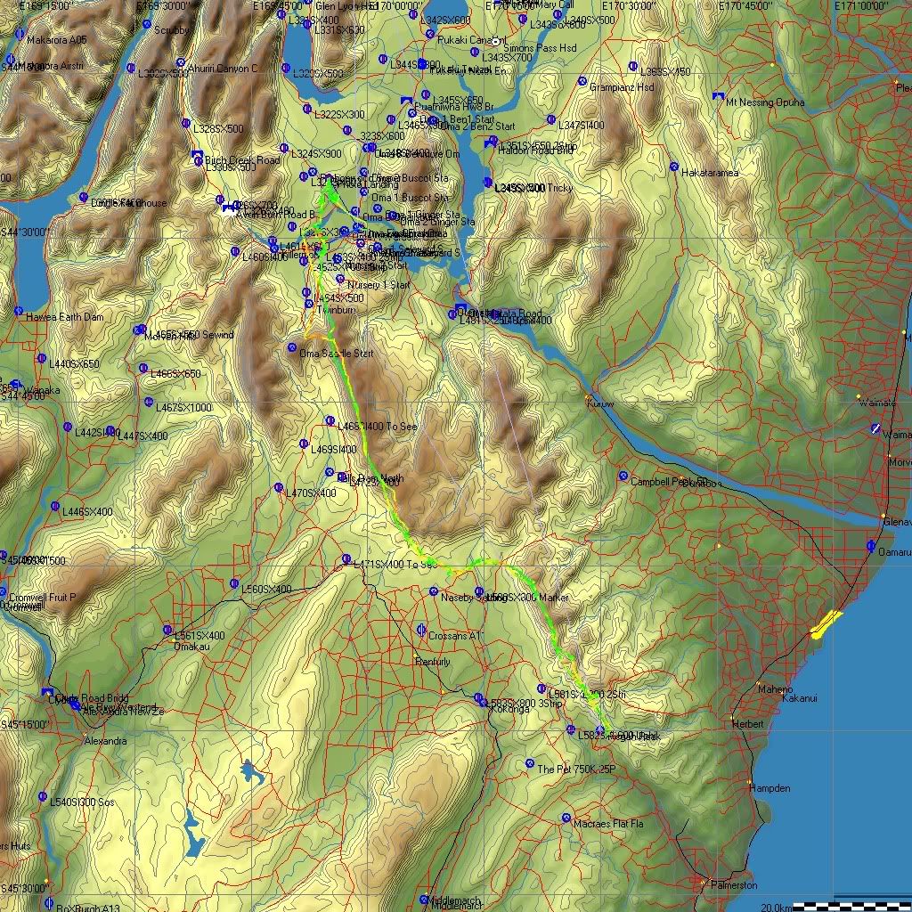 |
|
|
|
Post by glideboy on Nov 20, 2009 20:39:03 GMT 12
Friday was the last day of the course. Saturday brought strong westerlies and the tephigram was indicating strong turbulence with a marked wind shift at around 8,000ft. Me and Mark Bland from Aussie hired the Omarama club Duo Duscus and launched into a 15kt westerly. With the variation in the wind direction at 8 - 9,000ft, we took sometime to work out where to connect with the wave. After being smashed around for over an hour, we finally connected over Omarama Saddle. Mark was keen to go to Cook, but the way across the basin wasn't clear with a messy confused sky. Someone had called Queenstown control and raised the Dunstan GA area from 9,500ft to FLT 220. The wave clouds that way were all lined up and very inviting. So we turned south and used Clyde Dam as our first turn point. When we came back into the basin via the Lindus, the sky still looked messy, but we had plenty of height and a quartering tail wind so it was no problem to connect to the Ben Ohau wave. Cook was under 8/8th's cloud so we used the highest bit of cap cloud as a turn point. Seems that we actually went past Cook and turned at Tasman Saddle. Turning back to home we had a 82kt head wind at just over FLT 190. We had to crack open brake 1/2 down Lake Pukaki to get under the FLT 175 (GA for the Omarama sector) In fact we kept brake on all the way back to Omarama, effectively a 40km long final!! Lake Dunstan 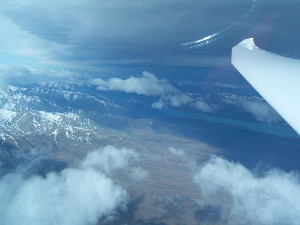 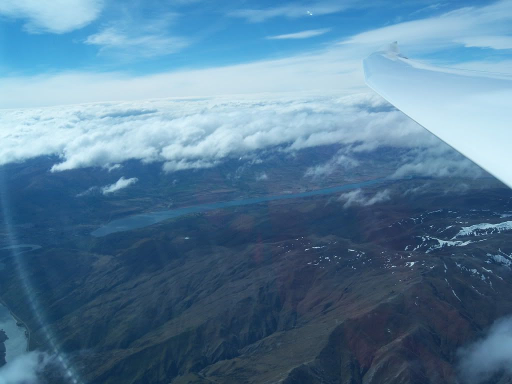 Approaching Clyde Dam 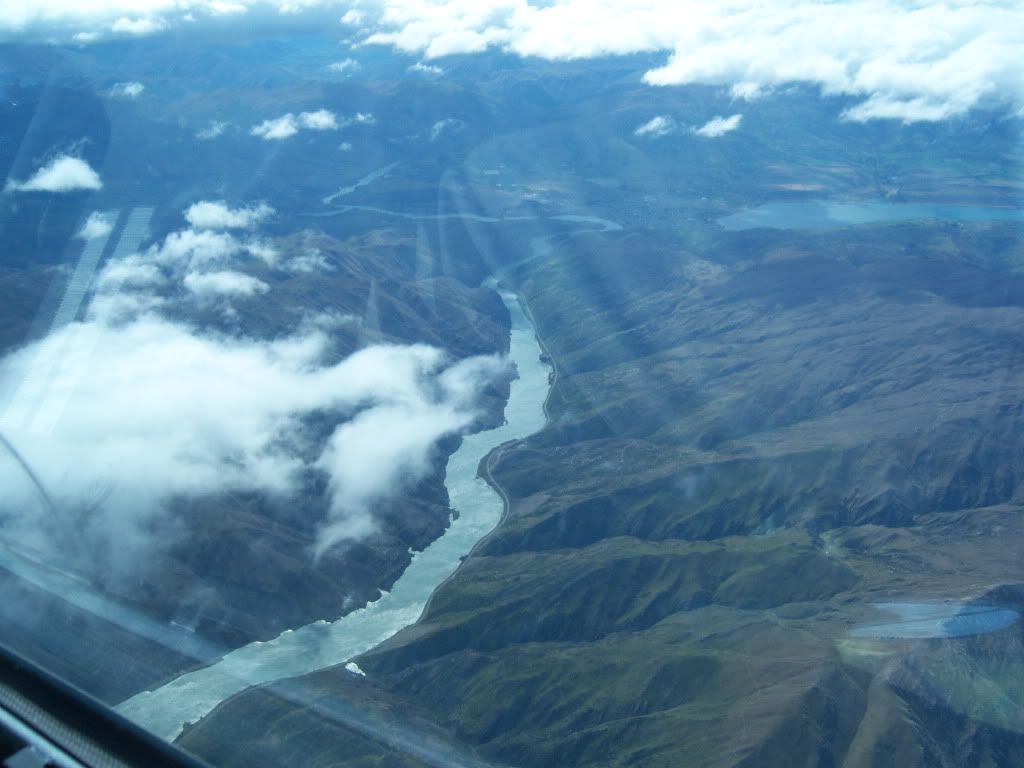 The altimeter says it all... 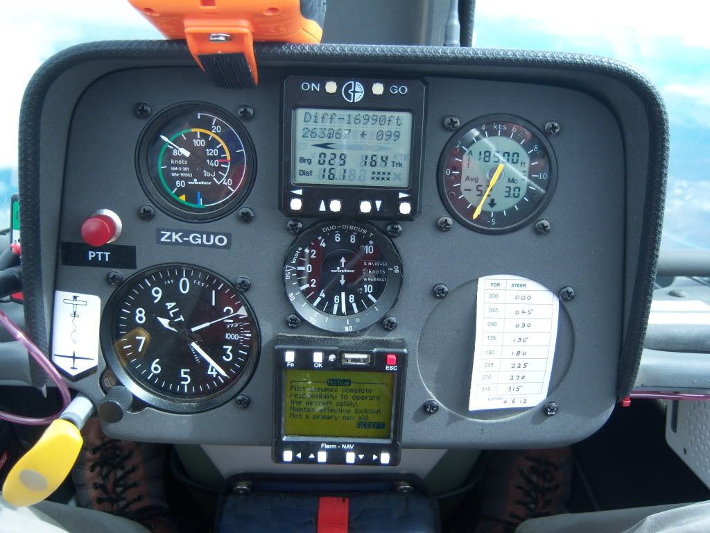 Interesting wave cloud in the Maniototo 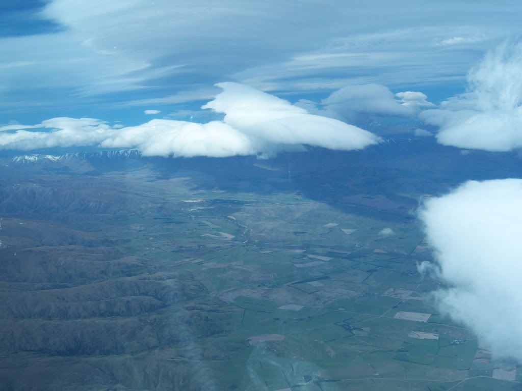 Over Mt Cook Village looking west 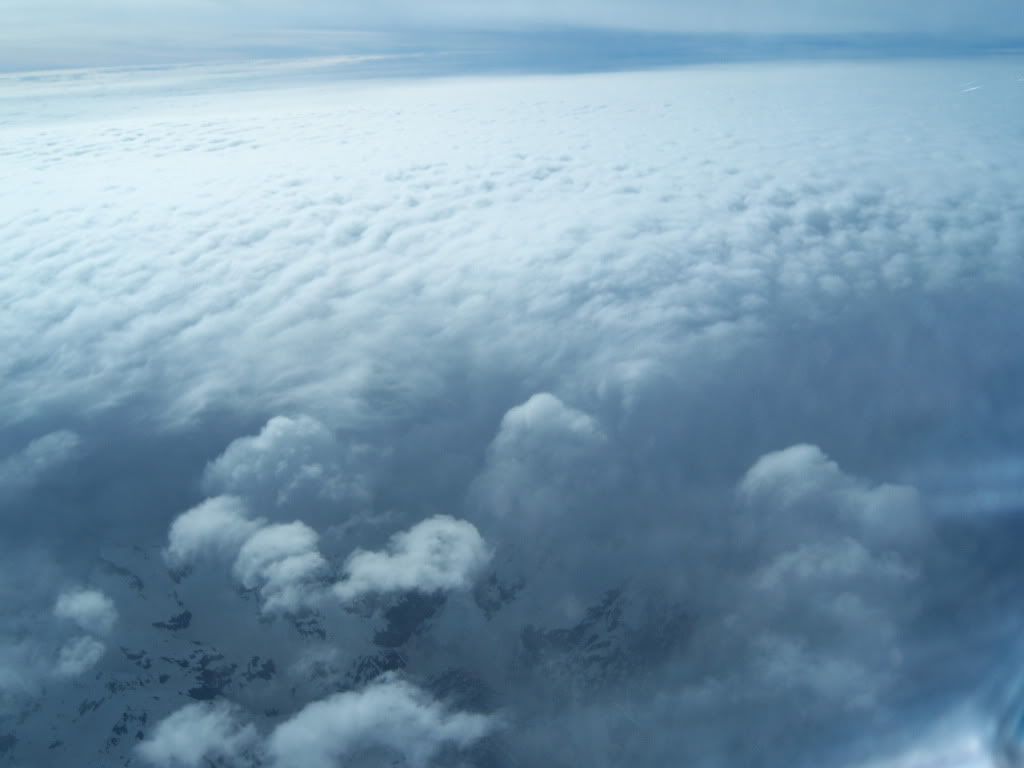 Turning for home. The gap in the cloud runs up the Tasman Valley 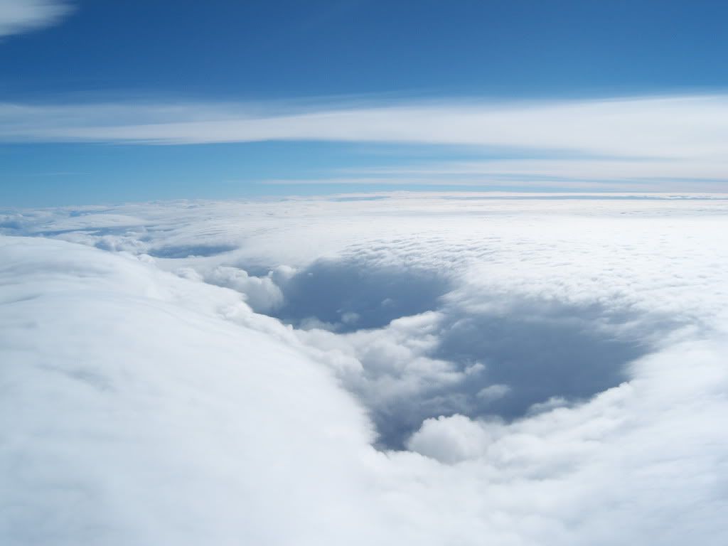 Clearer to the east..our escape route if required 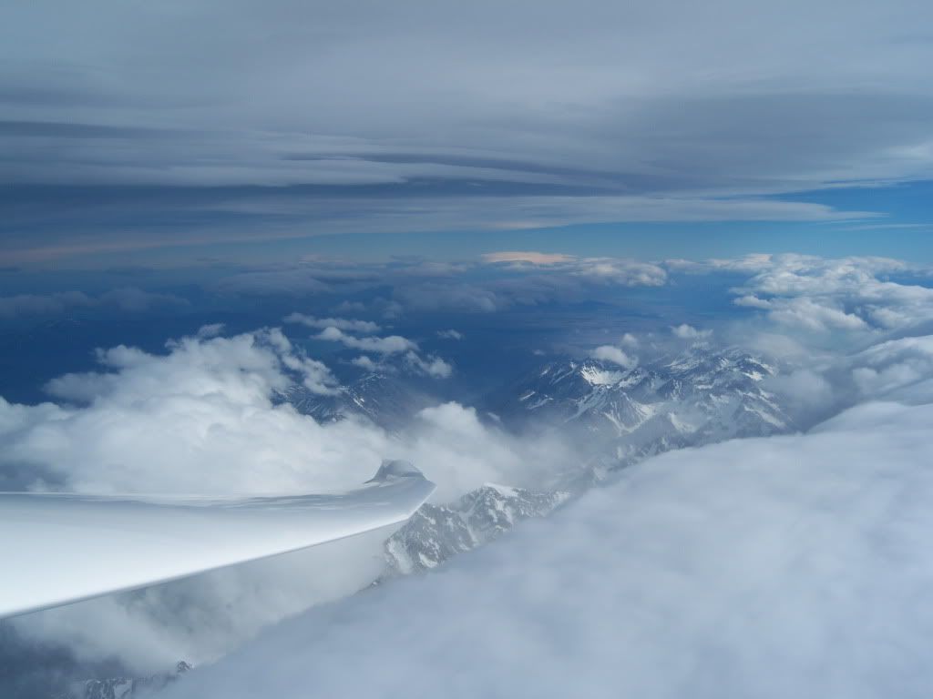 Lake Tekapo 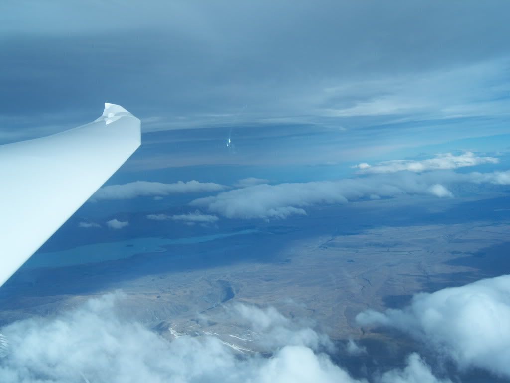 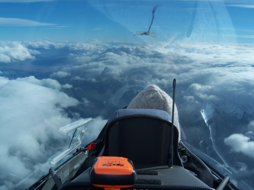 Brakes out 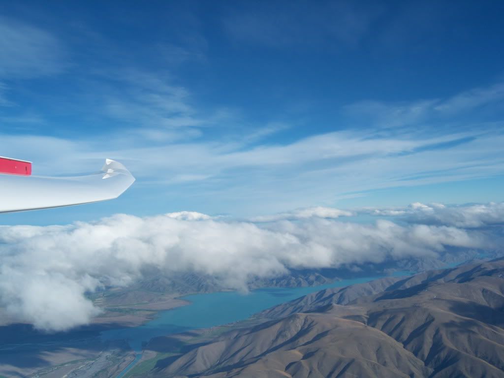 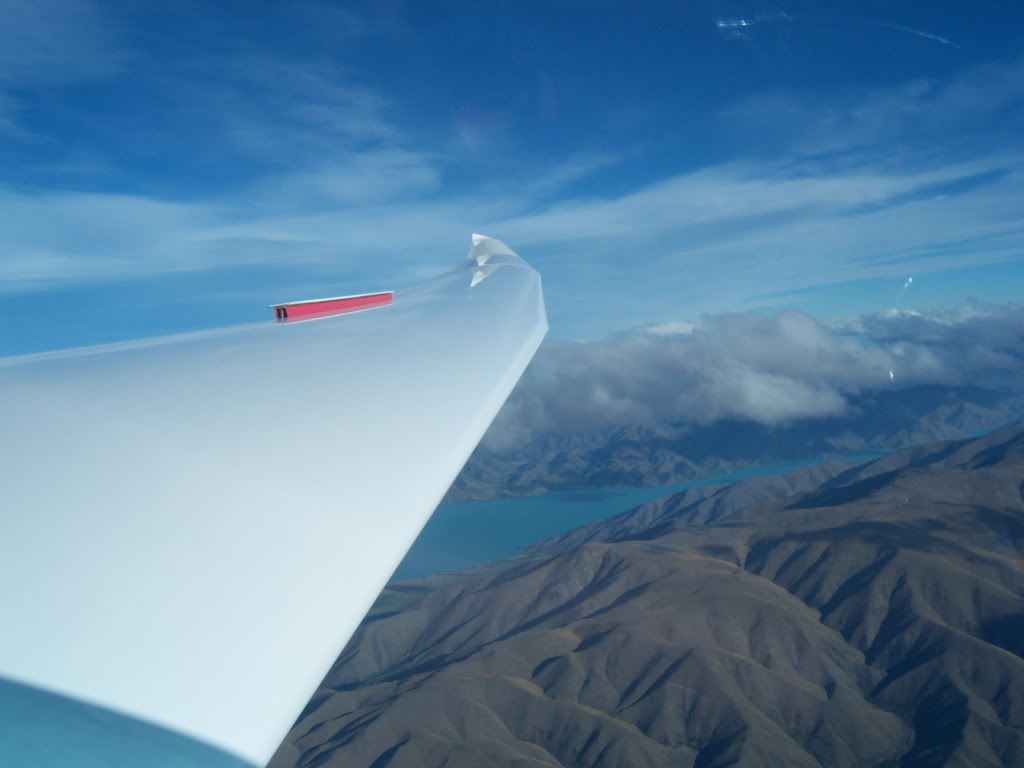 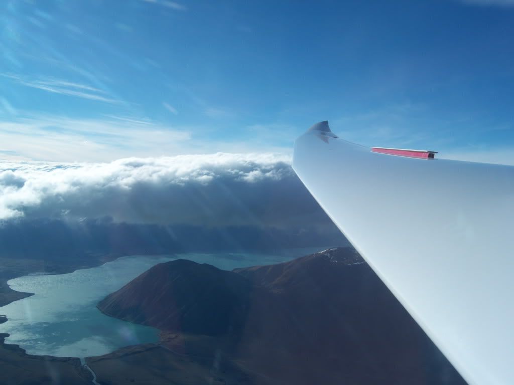 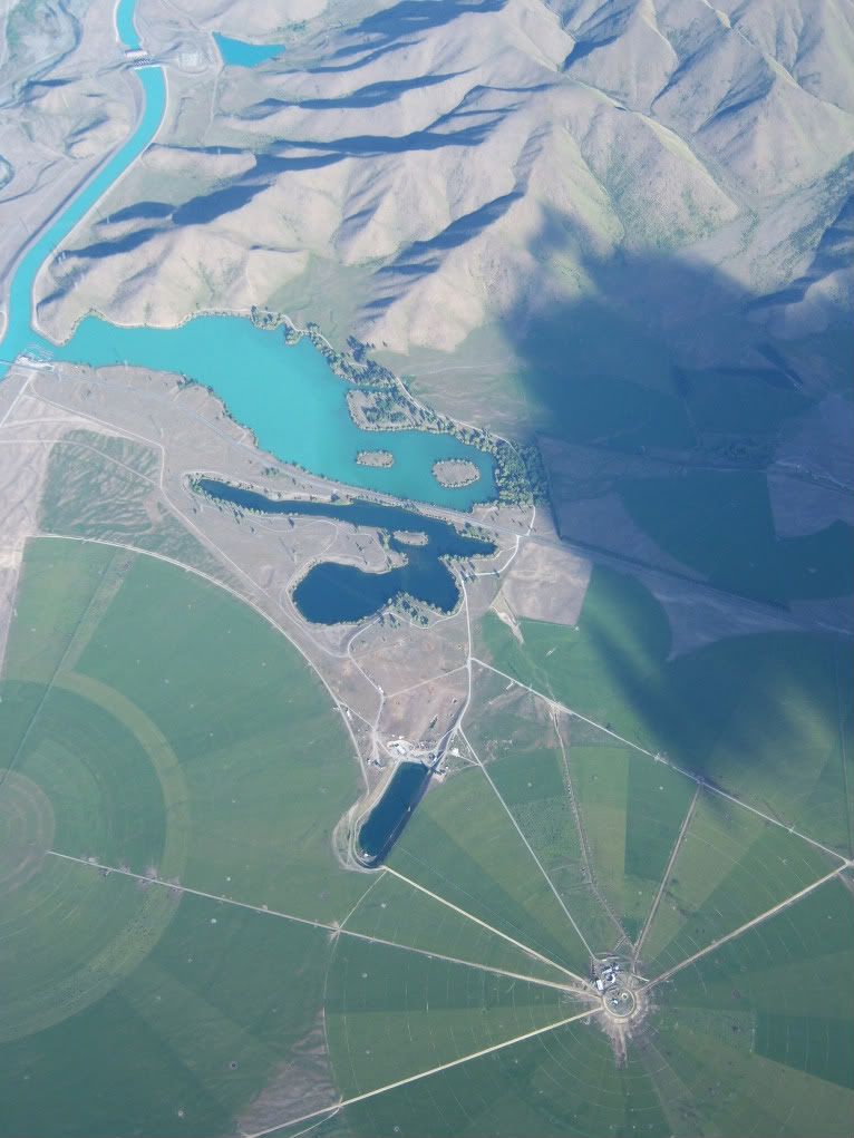 GPS trace 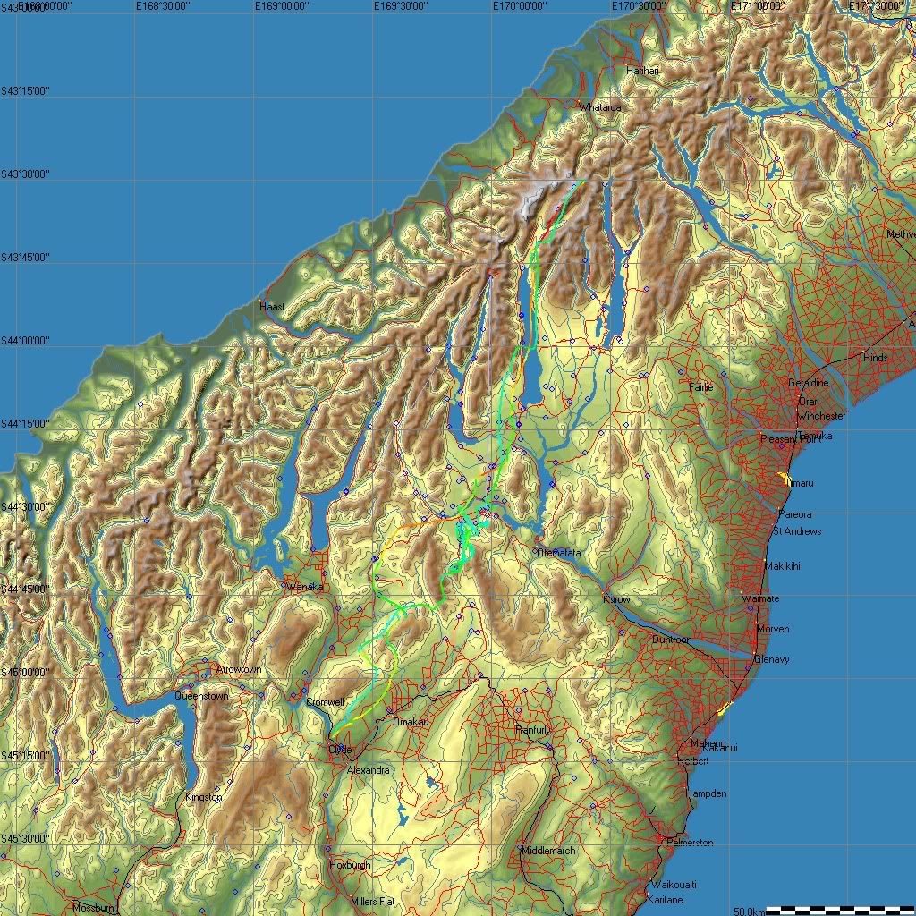 |
|