Post by Dave Homewood on May 16, 2006 22:16:07 GMT 12
Some thoughts on that last bunch of amazing photos from Sean, now that I've had a better chance to study them.
The photo of the completed theatre hall, which may have been more better known in RNZAF parlance as “the Institute”, at Delta. Can anyone make out what the two figures are that are on each side of the stage? They look like 1940’s Disney birds or chipmunks or something to me. I wonder if they were permanent features or part of some special event.
In the first Whenuapai photo entitled ‘WHENUAPAI RUNWAYS’ this is a great view of the base and surrounds. Note the lighter patch on the grounds of nearby Hobsonville, that must have been the mown airstrip or something? Or has the grass been removed I wonder?
It’s interesting to see the area before the Greenhythe (Upper Harbour) Bridge was put in. Also, look near the bottom centre of the photo. Is that massive compass shape just drawn/scratched onto the negative, or was that laid out in the large field for real? I wonder if the latter is the case was it for the students of No. 4 EFTS?
There seems to be a camp in the paddock above that (in the photo) surrounded by tall hedges of wind-break trees. I wonder if that’s the dispersed camp discussed on the forum recently.
Also, note that the tin hangar is gone. I was told by a chap who served there that No. 1 Hangar (the tin hangar) was disassembled and trucked to Rukuhia in 1942 or after, and was brought back at the end of the war. This seems to prove it, because the Hudsons were operated from that hangar at Whenuapai in 1941.
The photo below that of Hobsonville just shows what a beautiful base that was, and just how rural it was too. Hard to believe it’s now virtually in the centre of the urban sprawl, which will eventually swallow up the historic airfield.
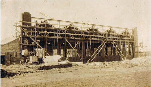
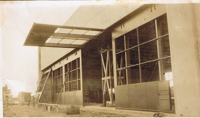
The 1939 outbreak of war photo of Wigram is fascinating to see, in that it looks rather different from the Wigram I knew, but then the 1941 photo further down is so familiar I could tell you what was based in most of the buildings seen in the photo from when I arrived there in 1991. The 1939 photo shocked me a bit because I’d assumed that No’s 4 and 5 hangars (seen) were built after No’s 2 and 3 (using their modern numbers you see). But 2 and 3 are only being scaffolded in this photo by the looks of things. Amazing.
The Harewood camouflage is, err, over the top a little.
Woodbourne’s Airmen’s Mess was identical when I served there in 1989. In fact some of the food tasted like war surplus too.
What’s the building in front of the Woody tower under construction? Is that the dry canteen? I cannot place it.
Ohakea still looks as remote and desolate as the photo here…
And the last photo showing Vincent and Dakota Blocks under construction is great. I lived in Vincent for a while before moving to Bristol Block and then Ventura Block at Hobby. I always assumed it was way older than Bristol Block, which is the big concrete block on the left of photo which has the Airman’s Mess and six two storey wings of barrack rooms. Seeing here that Bristol was older than Vincent is a revelation.


