|
|
Post by flyjoe180 on Jul 27, 2011 19:23:13 GMT 12
Fantastic photos and background Peter, thanks.
|
|
|
|
Post by Peter Lewis on Jul 27, 2011 20:55:47 GMT 12
Did you manage to get up to Champange beach? Cheers Anthony Yes 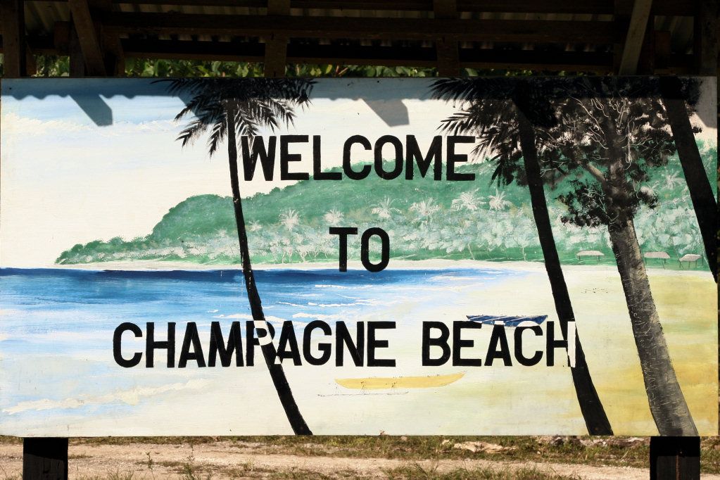 Best beach around, but apparently becomes a hell-hole when 3000 cruise ship passengers descend on it once a month 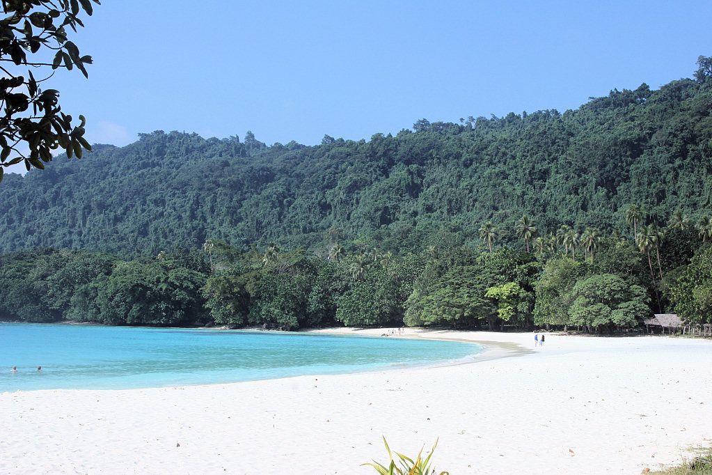 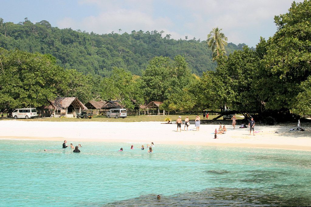 Apparently, when the New Hebrides was becoming independent back in 1980, there was an Espirito Santo separatist movement which had its epicentre around this area. They burnt down the hotel and destroyed a few other things. The beach is now run by the local tribes. |
|
|
|
Post by Peter Lewis on Jul 27, 2011 21:04:28 GMT 12
Working from the top down on the above map, the first airfield constructed on Santo was at Turtle Bay. This field later became known as Fighter 1, and iss located near the coast on the eastern coast of the Espiritu Santo Island. Built in the middle of a coconut plantation, rows of palms were on each side of the runway. Building the Navy's Bases in World War II: "A small reconnaissance party of three men left Efate on June 28, 1942, to find an airfield site closer than Efate to Henderson Field. Espiritu Santo was chosen, and on July 8, a small group of Seabees of the Efate detachment arrived at Santo with a Marine anti-aircraft battery and a company of colored infantrymen to begin work on Turtle Bay airfield. The Santo pioneers were given twenty days in which to construct the field. They worked day and night, in the race against time. Equipment for heavy grading was not available and they had to make out with six tractors, two scrapers, one grease truck, one gas wagon, three weapon carriers, and one 50-kw generator. Assisting them were 295 infantrymen, 90 Marines, and 50 natives. A 6000-foot runway was cleared and surfaced with coral in time to met the deadline. On July 28, the first fighter squadron came in and was followed the next day by a squadron of B-17's. The planes were fueled from drums and gave the Japs in Guadalcanal their first big bombing on July 30. Army Air Force and Marine personnel poured into the island shortly thereafter, and after the Marines landed on Guadalcanal on August 7, the new field at Santo gave vital support to that action." Although initially used by both US Marine fighter squadrons (Units VMF-214 and VF-33 operating Wildcats and Corsairs) and USAAF B-17s, the dangerously restricted surroundings saw bomber operations transferred to the Bomber 1 field at Pallikulo as soon as that became operational. Fighter 1, surfaced with Marston matting and quite narrow for an operational field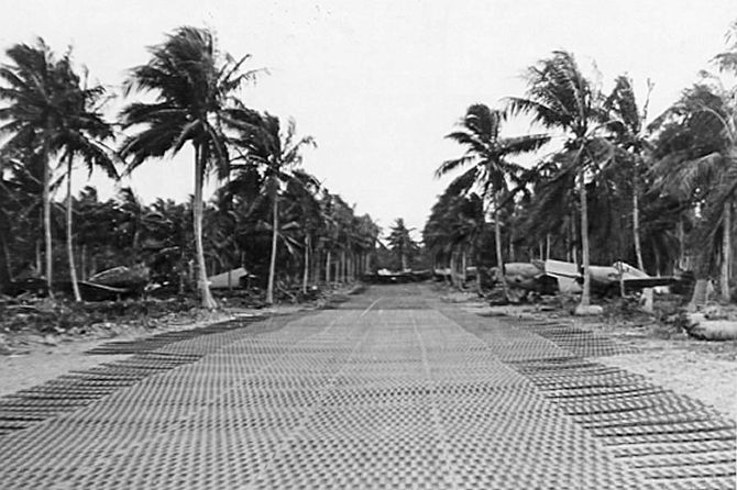 VMF-214 on Turtle Bay fighter strip VMF-214 on Turtle Bay fighter strip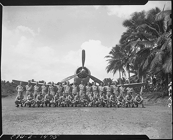 VMF-214 Black Sheep Squadron later moved base to Vella Lavella Island in the Solomon Islands. The strip has been disused since the war. However the runways and roads are still clearly visible on Google earth 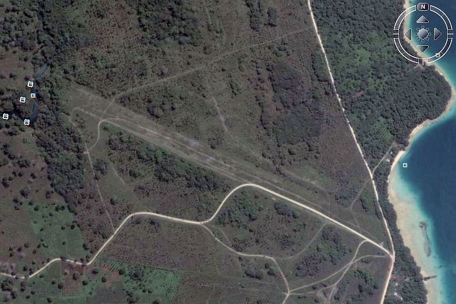 The main road north runs right past the entrance to the field, and as soon as you enter the gate you are right on the runway, looking west 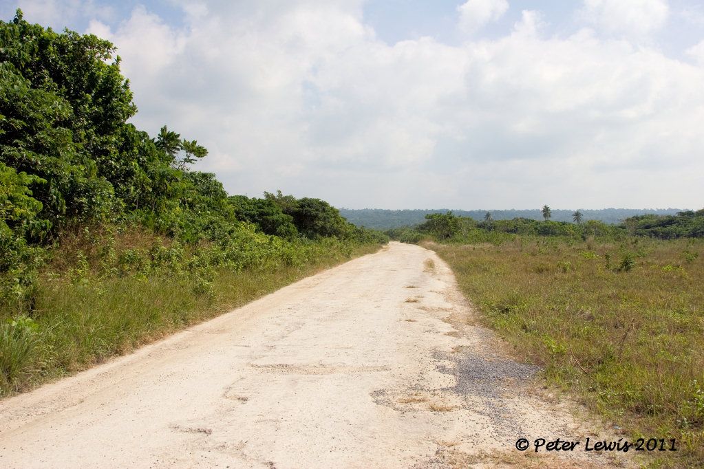 Drive down and looking back to the east 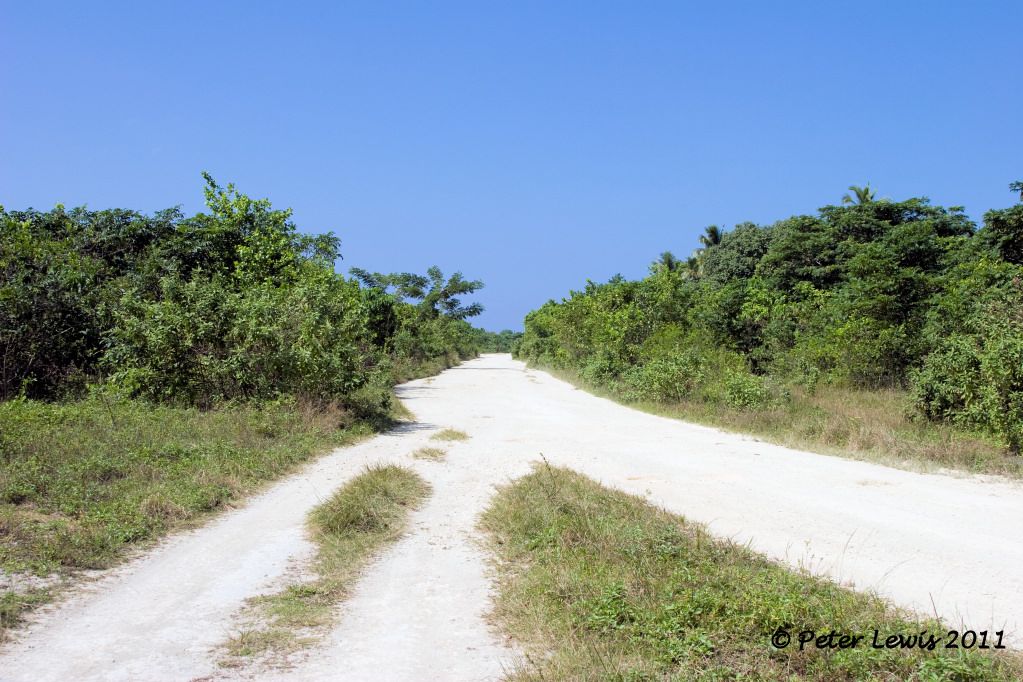 There are plenty of hard-stand areas, this looks like the compass swing station 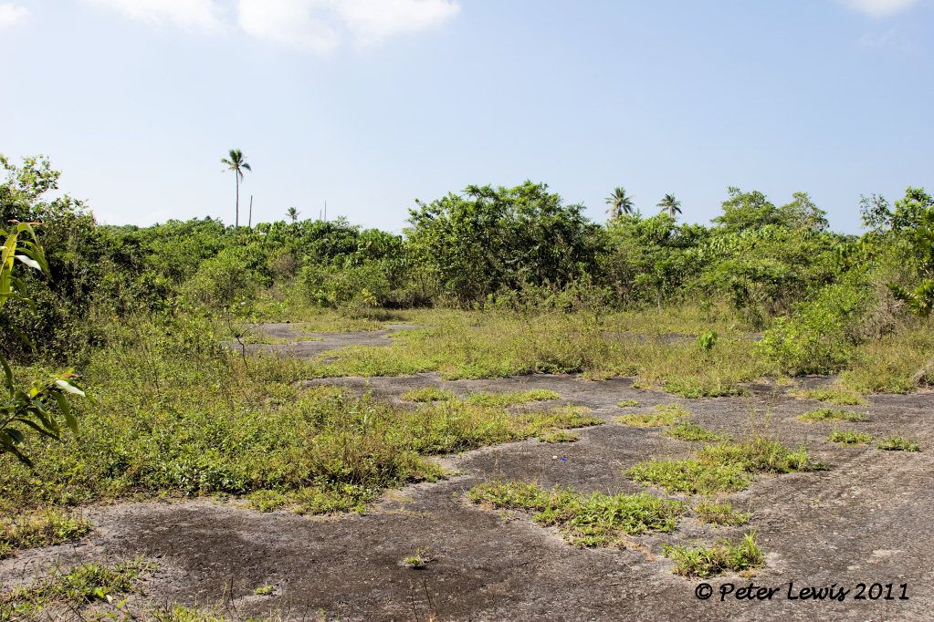 Tracks and trails head off into the undergrowth, but apart from the trails there is little remaining evidence that 4500 officers and men lived right here 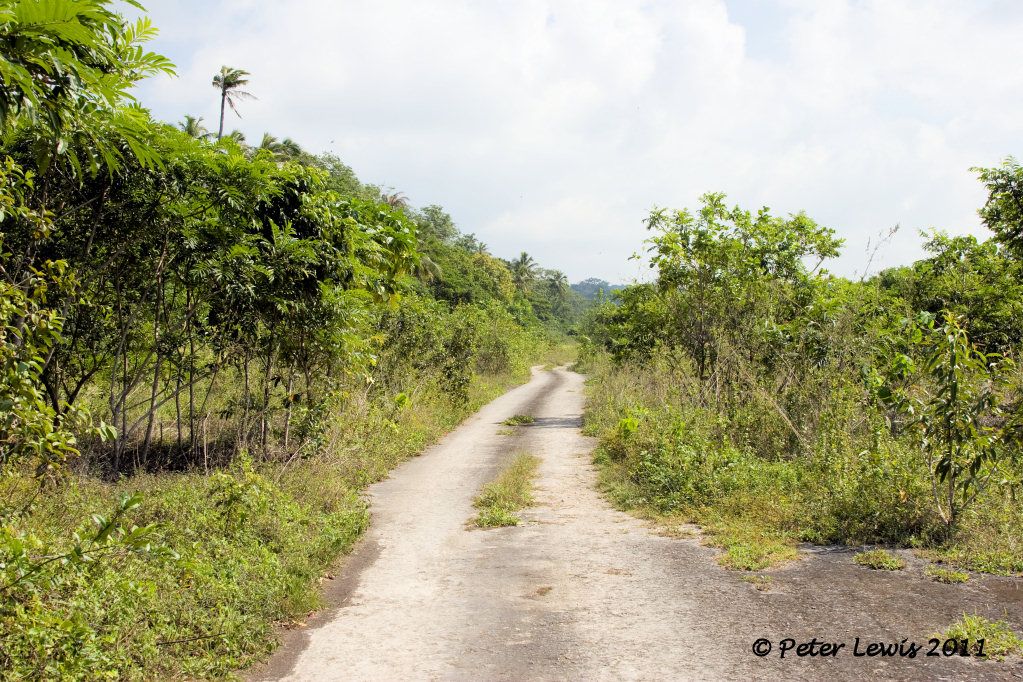 One trail lead to the 'Matevulu Blue Holes' swimming area, still accessible if you are so inclined. There is an honesty box to pay a small fee for a swim, that is sometimes guarded by one of the locals. 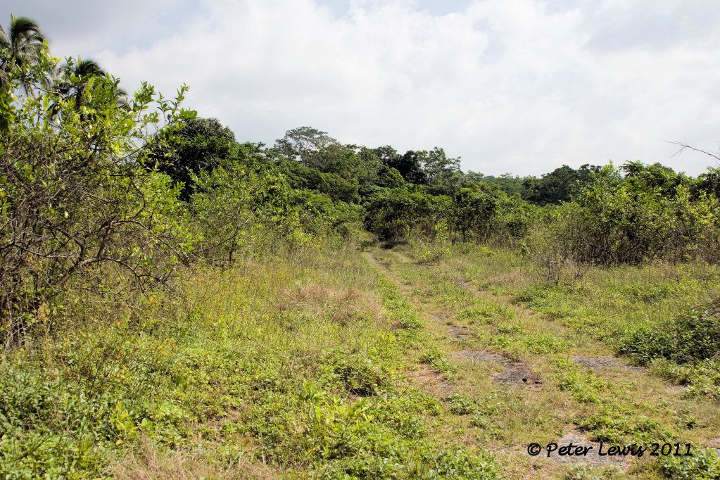 There are mentions of a wrecked American aircraft - possibly a Grumman Avenger - as being on site. I could not find any trace of this during my time there, but apparently it has been removed by the locals 'for safekeeping'! |
|
|
|
Post by agalbraith on Jul 27, 2011 22:34:21 GMT 12
Fantastic! Thank you.
We got to see that Avenger, it was pretty messed up, nothing forward of the wing aside from the engine. The stbd wing was constatinad back but all the marking were still visible. Apparently the crew were lost. Was kinda eerie sitting in the rear fuse which was still very complete.
The locals did move it. Where the engine was is the crash site, but on the opposite side of the road (or turnoff to the strip) down an overgrown track was the Avenger location.
Very cool....
Thanks for your photo's and experience I am really enjoying them!!
Cheers
Anthony
|
|
|
|
Post by Peter Lewis on Jul 30, 2011 17:04:51 GMT 12
Once the Turtle Bay airfield was operational, it was obviously essential to develop more air bases for the intensive war operations that were envisaged. A site adjacent to the Palikulo Peninsular was chosen for the development of a bomber airfield, this was closer to the supply facilities of the Segond Channel. "On August 11, 1942, the 7th Battalion arrived and immediately began construction of more extensive air facilities to support the Guadalcanal campaign. They began work on two fields to support bomber operations. A runway, 5000 feet by 150 feet, of steel mat on an 8-inch coral base, was constructed on the shores of Palikulo Bay (Bomber Field No. 1). Working in cooperation with a company of the 810th Army Engineers, the 7th Battalion also cleared, graded, and surfaced with coral a runway of the same dimensions at Pekoa (Bomber Field No. 2)." When the 15th Battalion reached Espiritu Santo on October 13, 1942, they were assigned the complete overhaul of the grading and drainage of Bomber Field No. 1. They also added taxiways, revetments, and a 1,000-foot extension for air transport operation." This became the largest strip on the island, and was used by heavy bombers. By June 1, 1943 the runway was 6,200' x 150'. Bomber 1 (Palikulo Field), 1943. Segond Channel in the background, Palikulo lagoon on the left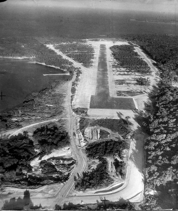 Even at this size, the field still had problems: "The landing in to Bomber 1 made me nervous, because the approach was designed to have the planes let down in a corridor that had been cut through tall rain forest trees, perhaps as much as half a mile from the end of the runway. The trees were trimmed so that those at the beginning of the approach were just topped, and as you neared the point of touch-down the trees were cut off at ground level. As the planes approached touch-down, well below the tops of the surrounding trees, I always hoped that there was plenty of wingtip clearance." Locals discuss the remnants of a crashed USAAF B-17 who's remnants litter an area near this field. I am unable to positively identify the aircraft involved, the most likely seems to be a B-17 lost from an operation of 2Aug1943 "B-17E Flying Fortress, 41-2463, "Yankee Doodle", of the 19th Bomb Group, then to 394th Bomb Squadron, 5th Bomb Group, crashes on takeoff due mechanical failure at Espiritu Santo, New Hebrides, Bombardier Sgt. John P. Kruger and navigator Lt. Talbert H. Woolam are killed. Pilot was Gene Roddenberry, future creator of Star Trek.The airframe was stricken on 13 August 1943." Also a casualty of Palikulo were RNZAF C-47 NZ3529 (when the aircraft swung off airstrip before becoming airborne on 06 July 1945) and SBD-4 Dauntless NZ5037 (lost 11 February 1944 after departing Bomber 1 for a radio familiarization flight, recovered and taken for display at the Wigram museum 1998). 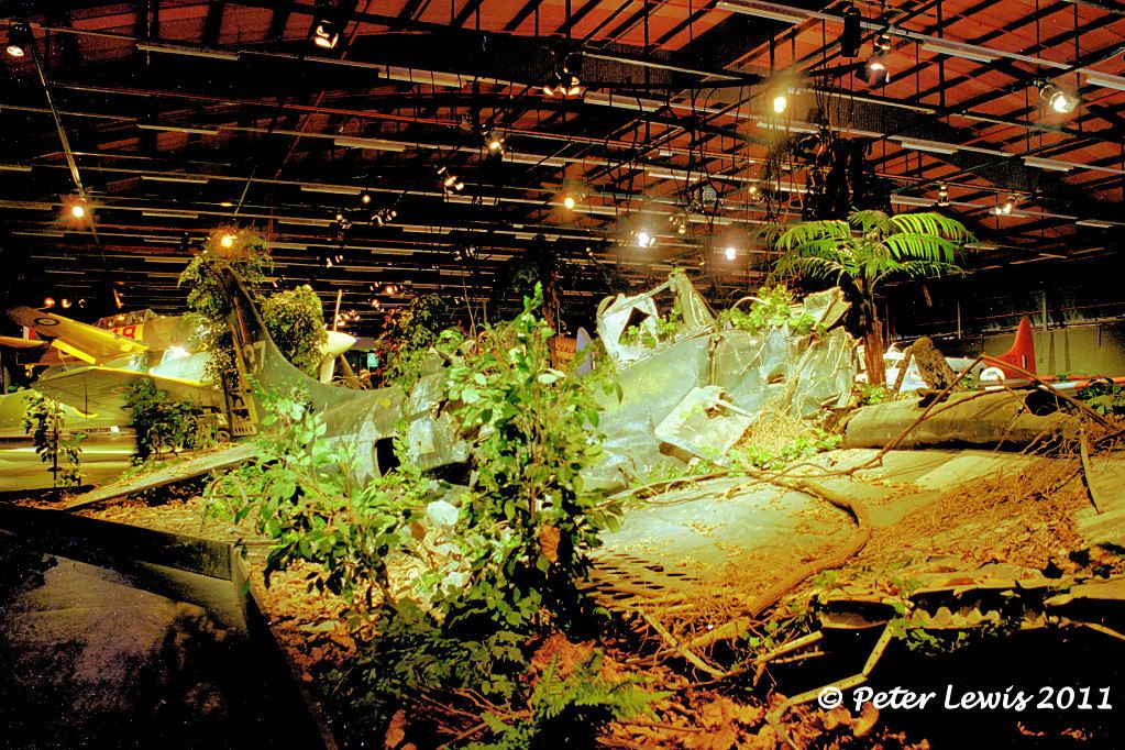 Despite the name "Bomber 1", fighter aircraft were also based here, including some RNZAF P-40s, Dauntless and Corsairs. Dave would have more details on these units than I could supply. The airfield has been disused since the war, and (despite what pacificwrecks.com says) is now totally overgrown as the surface was merely coral, a good growing-ground for the tropical jungle. The main road north from Luganville to Turtle Bay and Champagne Beach passes right across what was the main runway 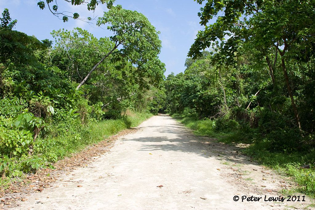 Looking left and right at the runway intersection, it is all now tiger country 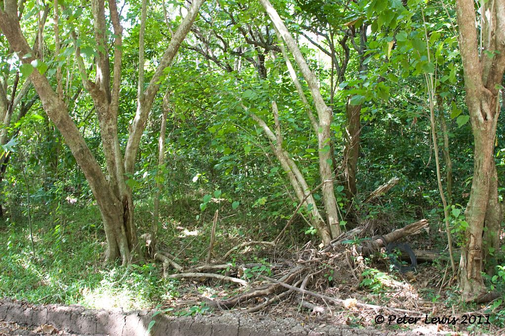 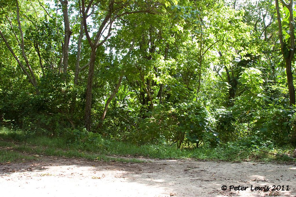 (The recent photo of a clear runway said to be at Bomber 1 by pacificwrecks.com is actually a photo of Bomber 3). One of the less desirable remnants from the US war effort in the Pacific is Persicaria perfoliata. This plant, known colloquially as mile-a-minute-weed was deliberately introduced into Vanuatu (as well as Fiji, Tonga and other Pacific Islands) as a fast-growing weed that would quickly grow over military installations and camouflage them. Unfortunately, when the war finished the plant remained, and today is a real problem is unattended areas. As you can see, anything could be hidden under its thick maze of barbed stems and triangular leaves. Sooner you than me to dig in there. 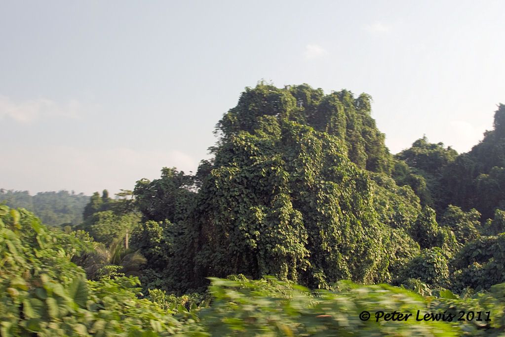 |
|
|
|
Post by shorty on Jul 30, 2011 17:59:09 GMT 12
|
|
|
|
Post by dakman on Jul 30, 2011 18:37:01 GMT 12
Thanks for the pics have not seen those .
Are they RNZAF official ??
|
|
|
|
Post by shorty on Jul 30, 2011 18:55:07 GMT 12
Probably, I have a series of 10 of the accident and they all have a "G" number and the date written on the back.
|
|
|
|
Post by Peter Lewis on Jul 31, 2011 16:04:32 GMT 12
As the build-up of Allied forces on Santo continued, it became obvious that more airfields would be required to handle the planned offensive operations of the Guadalcanal campaign. "Working in cooperation with a company of the 810th Army Engineers (from August 1942), the 7th Battalion also cleared, graded, and surfaced with coral a runway of the same dimensions (as Bomber 1) at Pekoa (Bomber Field No. 2). "The work at Bomber Field No. 2, which had been begun by the 7th Battalion, was also taken over by the 15th. They completed the construction of a 7,000-foot-runway, having a steel-mat surface on coral, and built taxiways, revetments, and miscellaneous structures. "The 36th Battalion also built an aviation supply annex of twenty arch-rib buildings, and six 1,000-barrel gasoline storage tanks at Bomber Field No. 2, with a connecting pipe line to a tank farm at Bomber Field No.1" Some workshop hangars were erected at Pekoa. These were of prefabricated steel frames and canvas covers. One could be erected in four to five days. They were big enough to house a B-24 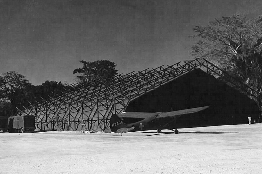 Bomber 2/Pekoa consisted of a single runway 6,400' x 150' with taxiways and revetments off both sides of the strip. Even so, there were the inevitable accidents. USAAF C-47 at Pekoa after the undercarriage retracted on take-off 12 January 1944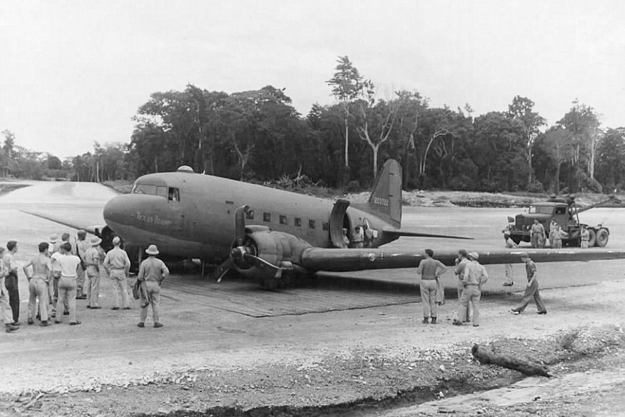 I find that many of the wartime photos said to be of Bomber 2 are actually, on close inspection, found to be photos of Bomber 1. Bomber 2 in 1943 on the left in this photo - Bomber 1 on the right, from pacificwrecks.com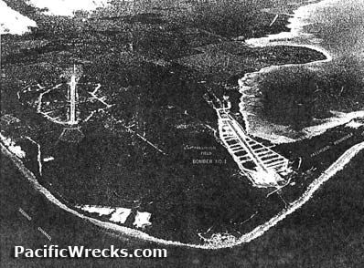 This field was closed upon the US withdrawal from the area in 1945. However, in the early 1970s it was reopened and refurbished to become the main civil airport on Espiritu Santo, with several flights each day between Pekoa and Vila. In recent years the airport has been upgraded to 'International' status, hosting direct flights by Pacific Blue to and from Australia by B737. You can't miss the name, these days 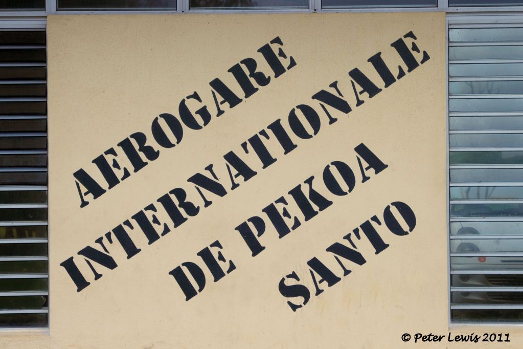 This stone plinth is outside the terminal, presumably a memorial plaque was attached at some stage but has now been removed 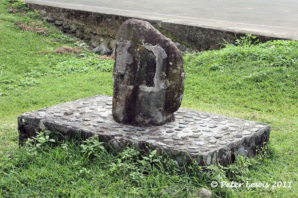 There appears to be no GA activity 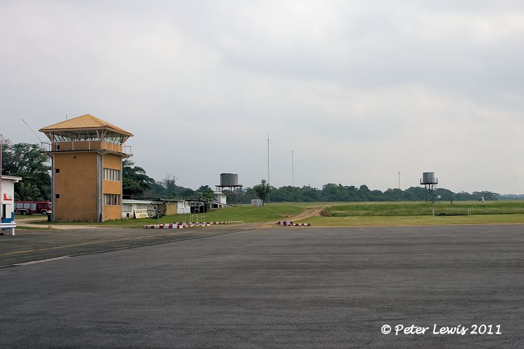 The runway was sealed in 2005 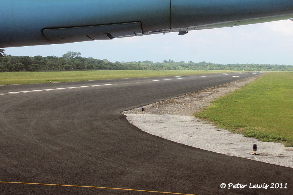 The modest set of terminal buildings 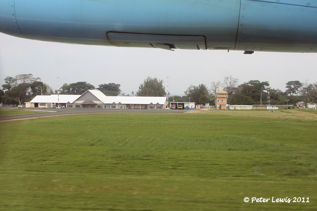 |
|
|
|
Post by Dave Homewood on Aug 1, 2011 14:10:43 GMT 12
Great stuff Peter, our bomber squadrons used Bomber 1 and the RNZAF support and engineering facilities were near there, but I'm not certain if any of our bombers also used Bomber 2. Possibly.
The place looks deserted in your photos.
I like that big temporary hangar. Is the Cub in front of it wearing a Red Cross?
|
|
|
|
Post by Bruce on Aug 1, 2011 14:58:07 GMT 12
Not a cub - looks like one of the Stinson Sentinel Variants.
|
|
|
|
Post by Dave Homewood on Aug 1, 2011 15:01:33 GMT 12
Cheers.
|
|
|
|
Post by pjw4118 on Aug 1, 2011 15:28:24 GMT 12
Great report Peter, I await the next instalment. Having been to Vila and Honiara I regret missing so much. How did you do the pre trip research to get onto these localtions. It must have taken a long time but I am grateful you did it
|
|
|
|
Post by Peter Lewis on Aug 1, 2011 19:09:33 GMT 12
Yes Peter W, it's the research that you do before the trip that sets things up. The keys to it were the Santo map sent by Paul (of Australia) and Shorty's three photos of the RNZAF Cats at the Segond Channel base. They helped a lot in both identifying locations and also in reassuring the locals that I knew a bit about their history. The idea of the visit to Vanuatu was a result of my Short flying boat project at theflyingboatforum.hostingdelivered.com/viewtopic.php?f=62&t=985which cover the history of ZK-AMB and my Catalina project at theflyingboatforum.hostingdelivered.com/viewtopic.php?f=15&t=893which sparked the desire to see the Segond Channel area, where some RNZAF Cats were based. Espiritu Santo 30Sep1945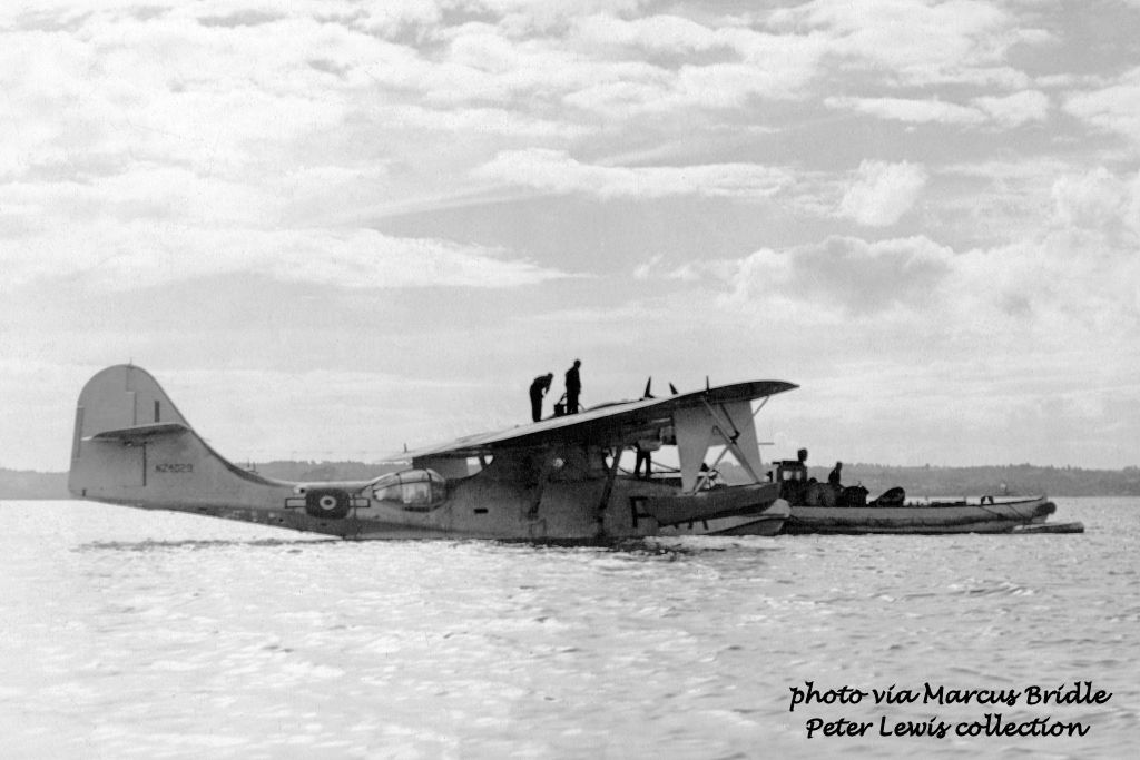 |
|
|
|
Post by shorty on Aug 1, 2011 20:05:54 GMT 12
Not a cub - looks like one of the Stinson Sentinel Variants. Sentinels had opposed motors (Lycoming O-435), that looks like a radial which makes it a Vigilant |
|
|
|
Post by Peter Lewis on Aug 1, 2011 21:49:25 GMT 12
The third and final airstrip to be built in the Luganville area was Bomber 3. This field is located on a ridge in the hills to the northwest of the town. "The 40th Battalion reached Santo on February 3, 1943. The principal project of this battalion was the construction of a third bomber field at Luganville. A runway, 6,800 feet by 300 feet, with 27,000 feet of taxiway and 75 hardstands, cut out of dense jungle, was completed in 120 days. Nearly a fourth of the runway was in solid-coral cut ranging from a few feet to 35 feet in depth; 3,000 feet of taxiway and six hardstands were also in solid coral cuts averaging 10 feet. Coral for surfacing and necessary fill was obtained from the cuts and from borrow pits. Because of the heavy rainfall in the area, the surface of the coral was treated with an emulsified asphalt binder. "Additional facilities constructed for the operation of the airfield included a tank farm of six 1,000-barrel steel tanks, two truck-loading stations, two repair areas, fifteen 40-by-10-foot arch-rib warehouses, one 100-by-90-foot hangar, eighteen 20-by-48-foot quonset huts for living quarters, six mess halls, and all necessary utilities. Fifteen miles of two-lane road, for access to and operation of the airfield, were cut through dense jungle." Bomber 3 runway on completion, 1943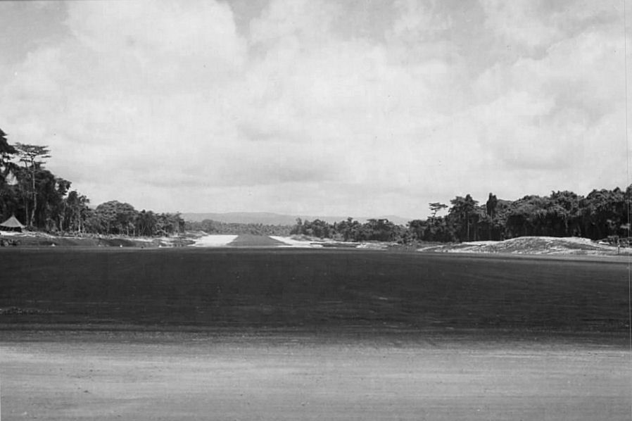 Control tower facilities at Bomber 3 Control tower facilities at Bomber 3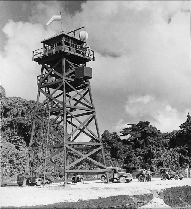 As this field was asphalt coated, rather than utilizing marston matting, it remained in service during the 1950s and 1960s as the civil airport and became Luganville Airport. One local I spoke to remembers cycling out to the field to watch the arrival of Queen Elizabeth II for a royal visit to the territory in the early 1960s. Of course, there were incidents at the airfield during these times 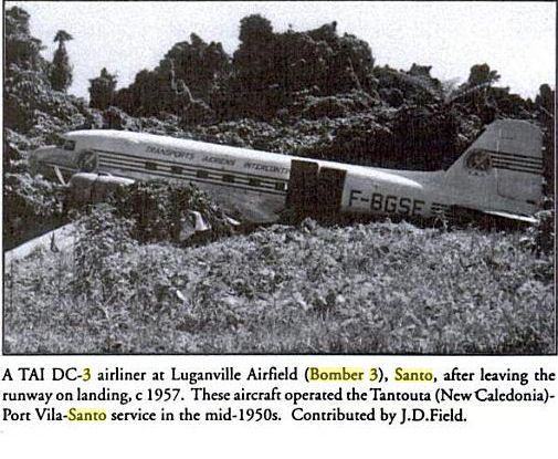 When upgrades to the facilities became essential, the decision was made to renovate Pekola and close the Bomber 3 strip. The airfield is still very accessible, as the road to the Millenium Caves, a popular tourist experience, passes right through the site. You could certainly land your Cessna single on the strip Looking North down Bomber 3 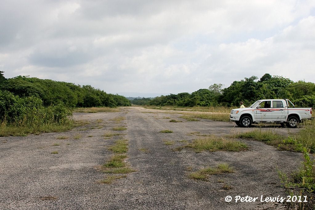 Turning around, looking South. The radio towers are in current use. Turning around, looking South. The radio towers are in current use.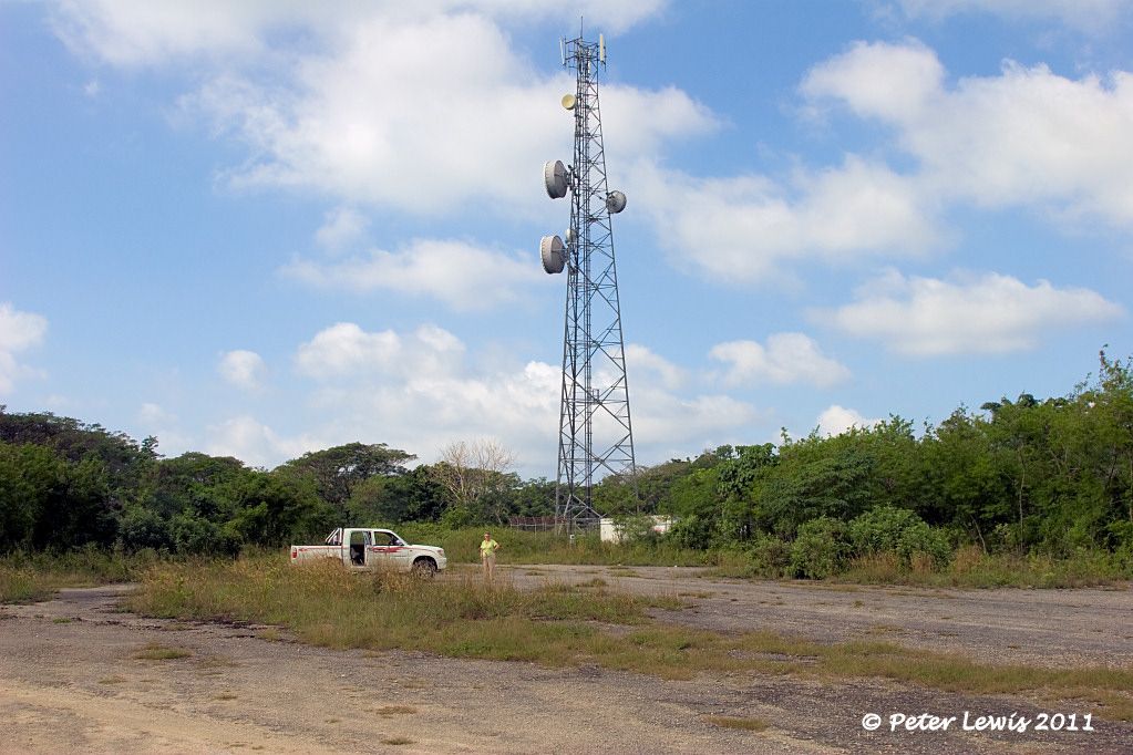 |
|
|
|
Post by stu on Aug 2, 2011 13:58:08 GMT 12
www.stuff.co.nz/world/south-pacific/5376002/Kiwis-injured-in-Vanuatu-plane-crash
Kiwis injured in Vanuatu plane crash CRASH SITE: The Cessna 207 crash landed at the Le Lagon Resort in Vanuatu. A New Zealand tourist is being flown home for medical treatment after being injured in a plane crash in Vanuatu yesterday. The Ministry of Foreign Affairs and Trade confirmed that five New Zealand tourists were on a small plane that crash-landed in Port Vila around 6pm (NZ time) yesterday. A receptionist at Vila Bay Health Centre said three New Zealanders were admitted to hospital and remained in the centre's care. An MFAT spokeswoman said one of them would be transported to New Zealand today for medical treatment. The ministry would not confirm what injuries they had sustained. The small air taxi-Vanuatu Cessna 207 crash landed in the Le Lagon Resort at around 6pm NZ time, New Zealand's High Commissioner in Vanuatu, Bill Dobbie, said. He confirmed that five of the seven people onboard were New Zealanders and said the commission had provided them consular assistance. Vanuatu Daily Post reported that the plane had run out of fuel but Air taxi-Vanuatu CEO Simon Turner said that was incorrect. "The weather was particularly bad and visibility was low and the pilot didn't think he could make it to the runway," Turner said. He said the pilot circled a few times before deciding to land in the golf course. Turner said two people were taken to hospital and x-rayed and one was hospitalised with a fractured vertebra. A local man, who lived 600 metres from where the plane landed in Port Vila, said it was raining so hard he didn't hear it come down. He said there had been a severe tropical storm which meant there was zero visibility when the plane was attempting to land. He said the plane hit a raised golf tee in the middle of the course which caused one of the wings to hit the ground and tip the plane onto its side.
|
|
|
|
Post by Bruce on Aug 2, 2011 17:41:28 GMT 12
ummm...not being a golfer, I always thought Golf Tees were those little plastic pegs you put the ball on- must have been a real whopper to do this sort of damage!
|
|
|
|
Post by Dave Homewood on Aug 2, 2011 18:16:07 GMT 12
I'm not a golfer either but my understanding is the tee is also the place where you tee off from, often a mound that has markers so people know were to begin the round.
|
|
|
|
Post by Peter Lewis on Aug 2, 2011 19:15:33 GMT 12
Golly gosh, that's unfortunate. I always did think that golf courses were highly dangerous places. Cessna 207 Skywagon YJ-FLY is ex-ZK-EJD of Coast Air Charter Ltd., Reefton and Fiordland Experience Group/Air Fiordland, Te Anau. It went to Vanuatu in December 2010. YJ-FLY Bauer Field 11July2011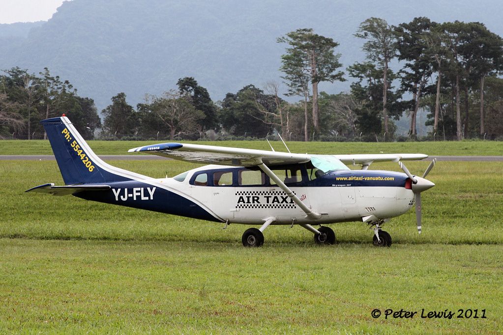 |
|


