|
|
Post by Bruce on Jun 4, 2010 14:59:00 GMT 12
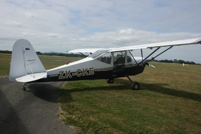
Looking through the various pictures on other threads, eapecially those on the airtourer thread, there are recognisable hamilton airport buildings, shown in the background, but they dont appear to match todays layout as far as roads go etc. I'm interested to see how the western side (Aero Club Robertsons etc) was laid out. I have found the hangar base of the "unfinished Hangar frame" near the old WAC hangar - CKE gets run up on it from time to time! and also the old road leading around to it.
In many pictures there is the "Aeromotive" Hangar (previously Air Parts) recognisable by its sloping sides and steel frame, and I know that it received an extension on the front in the early 1990s. It appears as though Steele Rd ran in front of the hangar rather than behind at some time? can someone confirm?. The big bare area between it and the super Air site (where Robertson Fletchers used to dwell) there appears to have been some old ramshackle villa at some stage. the WAC clubrooms was also the old NAC / SPAANZ terminal. Anyone got any other pics of this side from days past?
|
|
|
|
Post by eieio on Jun 4, 2010 20:26:48 GMT 12
Somewhere along the Superair /aeromotive frontage Eagle flying school had a presence,memory suggests it was a transportable building. Dont think roads were as formal then.Is the old house the aero club before moving to the current site.
|
|
|
|
Post by Ykato on Jun 6, 2010 13:28:22 GMT 12
|
|
|
|
Post by Dave Homewood on Jun 9, 2010 11:33:58 GMT 12
Bruce, also perhaps this might help, there is a department in the university that does maps and stuff (Geography Department I guess) and they have a load of old aerial shots of the Waikato. They may have some over the airport perhaps. Worth a look one day in your lunch break perhaps. The uni library there may also have some photos in their map department I guess. And I know the Hamilton Central Library has lots of old photos of Hamilton and its environs including aerial shots.
|
|
|
|
Post by flyinkiwi on Jul 5, 2010 11:21:11 GMT 12
When I was up in the Geography Dept I asked about this and they only have historic aerial photos of Hamilton City, not the airport (although you can see the small airfield in Te Rapa that used to be adjacent to Bryant Road but is now all houses). They suggested you try Archives NZ. |
|